Pengwinds

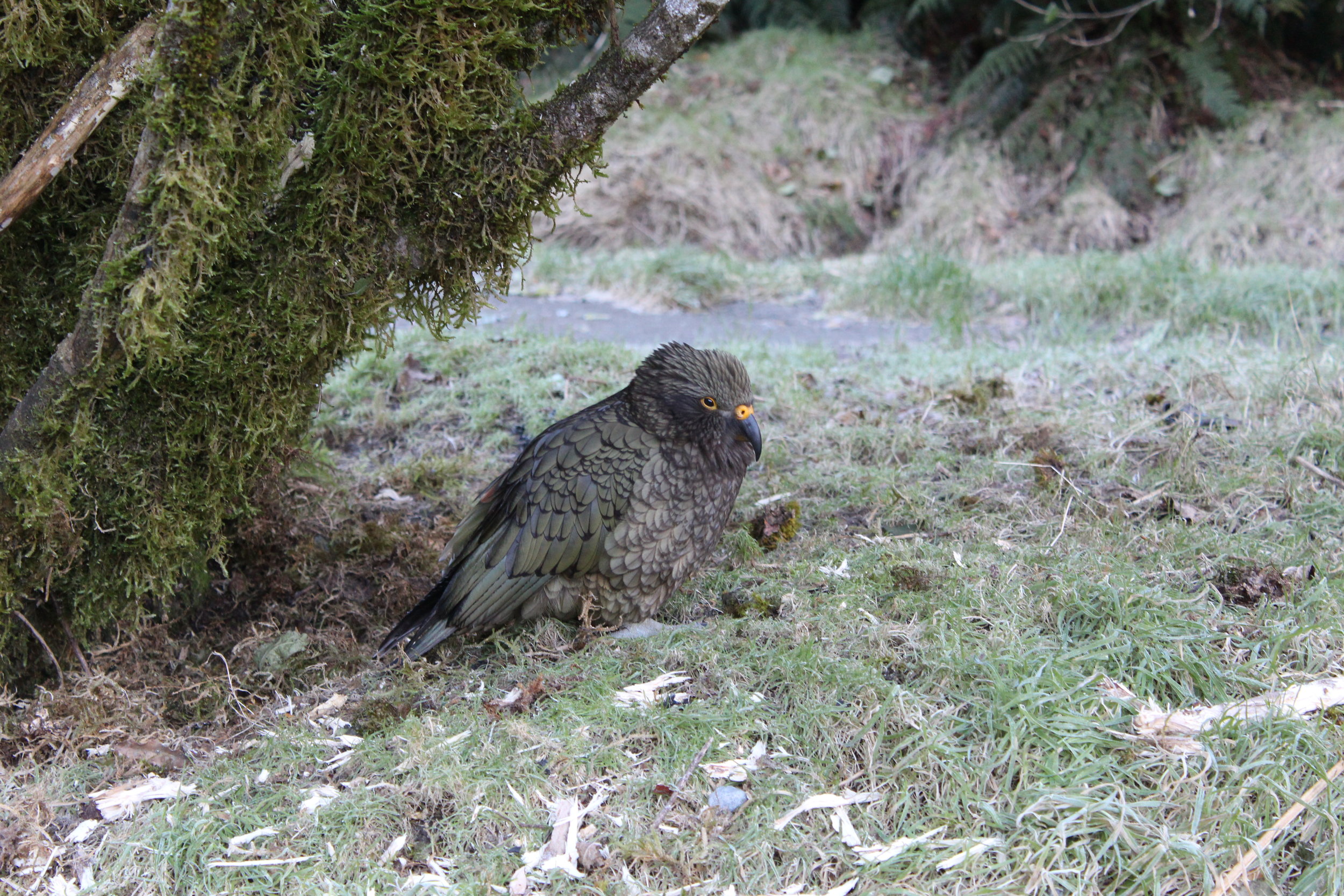
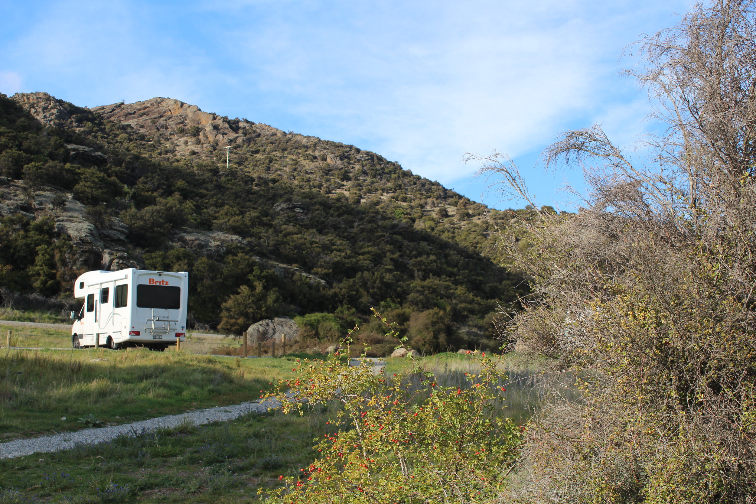
Some crazy days... we travelled from one side of New Zealand to the other in a day, from Fiordland to near Dunedin. The countryside became flat farming land filled with alpacas and sheep. The grass was golden and patchy and the mountains were warmed by the setting sun. Henry drove on. Then I took over. The worst thing was having to periodically stop for drivers to pass. It was dark, the roads winding and getting hilly. We reached Gabriel's Gully, an old gold mining valley at around 9 pm. There was a caravan in the DOC picnic area. We got out and stared at the sky, crowded with stars, the white band of the Milky Way clearly visible.

Dunedin railway station.jpg


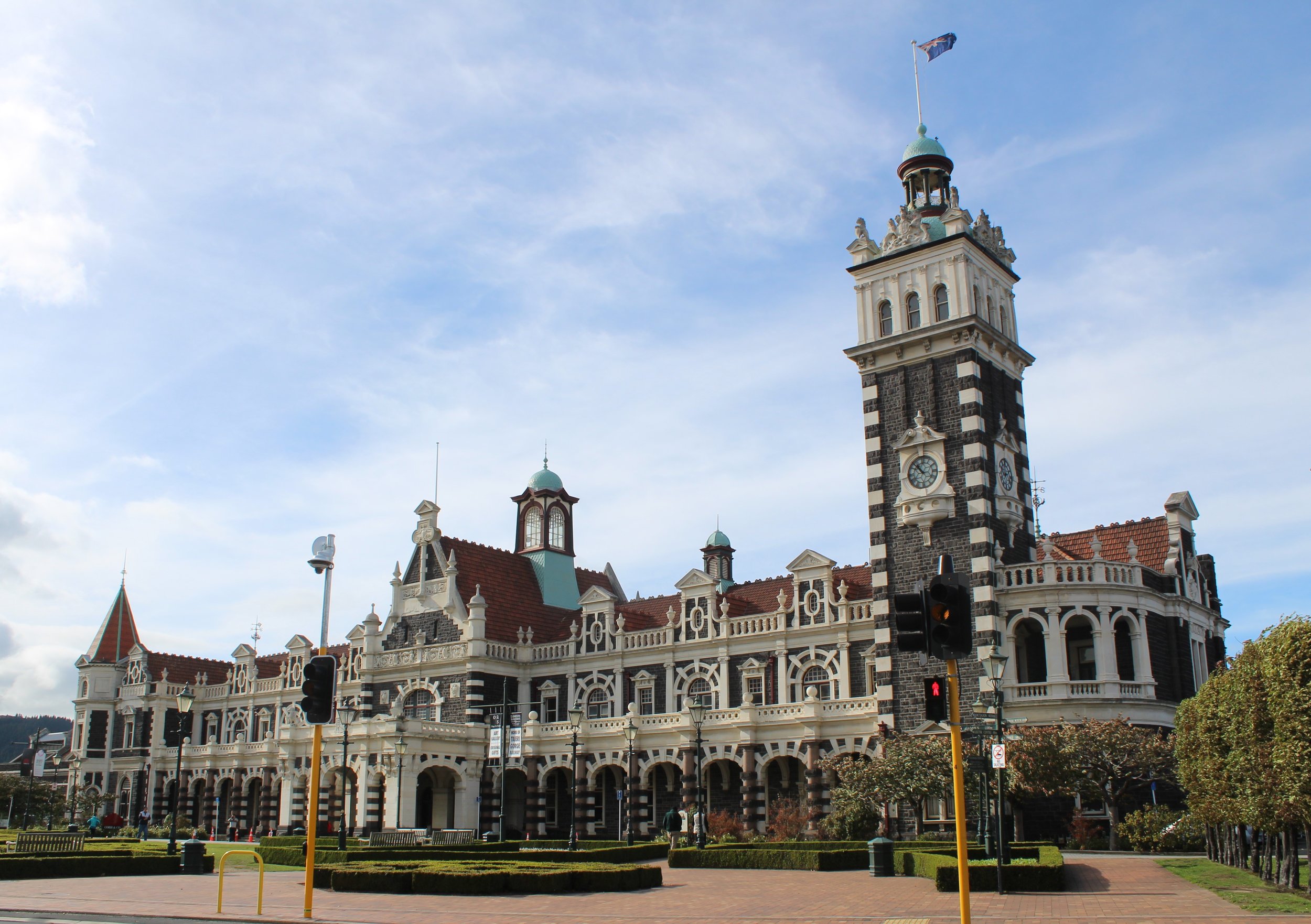
Dunedin blew us off our feet. Truly scary driving a large motorhome in a gale. Still, once parked (and free as it was a Sunday), we had a more relaxed time round the Otago Settlers Museum, admiring the Flemish renaissance-style railway station - from which tourist trains run - and visiting the art gallery. To bring it down to earth, we ate lunch in Subway, which suited our budget. 
The reason the pace was slackened was not just passing time in the hope that the wind would drop, but we aimed to see yellow-eyed penguins just up the road near Moeraki. This had to be timed with when they came ashore in early evening. Then it became a bit of a dash. Having to stop for more food (two young people in the family) put us back. We got to the holiday park at Moeraki and the friendly owner came out from the back in his socks. After booking us in, he asked if we wanted anything else. ‘Yes’, we said. 'Penguins?' he volunteered, and got out a map, drawing a line to show our route and telling us we had to go straight away.


He was right of course. After a ten-minute drive, half of it on a gravel road, we arrived to see people leaving the Moeraki Lighthouse nature reserve and thought the show was over. The reserve closed at 5.30 pm so we had less than an hour. However, we were in luck. I spotted a penguin! Then another couple, who had come ashore onto a grassy outcrop. They sheltered in amongst the bushes but came out to give photo opportunities. New Zealand Fur Seals were everywhere, in fact we could not go past a certain point as they lay across the path - about twenty of them. They were adorable, but not animals we wanted to get close to. Satisfied, we returned to camp.

IMG_9219.JPG


Back at the holiday park we were next to a chap who had a self-built motorhome, which he had had since the late 1970s. He and his wife had been all over New Zealand in it. 
The tide was in and the light gone anyway, so we had to wait till next morning to see the Moeraki Boulders.

It was busy on the beach first thing, being by a hotel. The challenge was to take a photo without people in. They were posing on the smooth, spherical boulders that look like dragon's eggs. 
Off again, still in the gale, up the coast, we headed for Mount Cook, an almost impossible task that would involve three more hours of driving, then four hours to get back to Christchurch, where we had to be by the following morning...

IMG_9240.JPG

New Zealand's Heart


"That's the life!" said a stranger passing in his truck as he observed us sunbathing outside our motorhome. "Enjoying the Fiordland sunshine. Where are you from?" As usual we struck up a conversation with a friendly New Zealander. Henry and I had just completed a lovely walk on the Kepler Track: one of the Great Walks where it is possible to enjoy a few hours tramping in stunning countryside.

From Rainbow Reach Car Park, cross the swing bridge and then the path starts to climb up through forest until there is a choice of destinations. Shallow Bay was our aim, providing a good variety of scenery.
The track follows the river, but from a height so you only get the chance to see it from viewpoints. Tomtits fly in front of you, huge ferns grace the path and mossy tendrils hang down from the trees.

20180413_110657.jpg


It only took us just over an hour to reach Shallow Bay. Leaving at 9.30 am, we met three people near the start then no one for nearly an hour. Overall, we counted about fifty people there and back, nicely spread out and cheerfully greeting us, as you do when walking in such a beautiful place. Shallow Bay exceeded my expectations. It was awesome. No amount of time would be enough on such a beach. Lake Manapouri set off by several mountain ranges including the Kepler Mountains of course. At this time of year they were snow-capped and took your breath away. I stood and looked, and absorbed as much as I could. Just Henry and I here alone in peace.
Meanwhile, Joe and Freya were off on a Doubtful Sound cruise with Real Journeys. We had all done this trip when we last visited New Zealand but it is pretty expensive when you multiply it by four so this was our solution. Great to pack them off now they are adults! 
Starting from Pearl Harbour, Manapouri at 8 am, it returns at around 2.30 pm. The trip takes you over Lake Manapouri, then by coach across Wilmott Pass, then another cruise through Doubtful Sound. The day began with mists lingering over the lake - it had been a frosty start - and became sunny, though still cold. You could not wear a hat though unless you wanted to lose it as someone did. Joe said the guides were excellent and entertaining. 
Sometimes you can see dolphins on this trip but sadly none were seen this time. There was, however, a brief view of some little blue penguins.
I lost my heart to this magnificent part of the country, as we all did when we came here before. This is the image of New Zealand, where to go if you are a photographer, the area you just cannot miss. It is as 'New Zealand' as it gets. To me, this is the heart of New Zealand.

IMG_8731.JPG

Waiting

It had been a shock to us as we got out at Wanaka, the air was freezing! The drop in temperature was drastic. Here in the mountains you needed everything you'd got. It was woolly hat weather. 


I guess the skydiving urge is genetic. Joe had volunteered to do one and I'd booked him in at Glenorchy. Trouble was, the weather was no good for jumping out of a plane. The wind had been fierce in the night at Bendigo, and Lake Wakatipu was whipped up at Glenorchy, with rain showers. Snow had fallen in the night on nearby hills. So we kicked our heels at Glenorchy. I had allowed a few days spare in this area. It is a beautiful place, hugged by impressive mountains. If you walk out without a camera you feel conspicuous. There must also be a word to describe a compulsion to take photos. It is like a disease round here.

IMG_8228.JPG


Having rung Skydive Southern Alps about four times to get weather updates and being told it was all 'on hold' we headed out to Glacier Burn, a place to overnight if you were self-contained. We had a stunning view of snowy mountains. The walk was 1-2 hours and we decided to do some of it. Light snow fell as we set out. A river to traverse was a challenge. How to avoid taking your boots off and get to the other side. We grabbed pieces of rotted trees, huge rocks were thrown in, and after about 20 minutes we all made it across. I pointed out to people that we had to get back across and that you shoud never go somewhere if you hadn't thought about how to get back. The walk, aided by red markers on trees, took us into a forest (probably part of Fangorn!) and up through steep climbs, the forest floor covered in ferns. Fungi were strange to see in April for us, as we had been through a hard winter, heading for spring and now thrust back into autumn. Before it got dark we made it back to the motorhome. Freya got her boots wet in the river.
 

IMG_8285.JPG

Where's the Glacier?

IMG_8047.JPG

At Fox Glacier I was unable to get my bearings. The car park that led to the walk to the glacier bore no resembance to my memory, neither did the walk. I have a photo of Joe sitting on a large rock right next to the glacier face. Now it was nowhere to be seen! The car park was on a built-up area, people walked upwards from it on a grey path through a construction zone. Yes, there were  diggers and dumpers working here, continually shoring up the pathway with large rocks and doing goodness knows what in the valley below us. Finally, after a pretty steep climb, we reached the furthest point permitted and looked across at the glacier, some distance away. Retreated beyond belief, a glacier apocalypse. Some information boards at the start showed a comparison between 2008 and 2014. The glacier must have halved in those six years.

IMG_8063.JPG


At Fox Glacier there is a choice of another walk 5kms away. Lake Matheson, the photogenic lake that reflects Mount Cook and Mount Tasman. Sometimes. On this still, overcast day wispy white cloud kept the two famous peaks behind a veil of mystery. The walk was supposed to take one and a half hours but we did it in one, even with photos. Mind you, everything on me below the waist hurt, as I'd walked about 30 miles in five days.

Lake Matheson fern.jpg
IMG_8182.JPG


Been there, done that, quick march, cup of tea, now drive, drive, drive... three and a half hours later - Wanaka dump station - then onwards another 40 minutes to Bendigo picnic area for the night. A huge free camp we found on the Rankers app again. Penty of campers there, at the lake. Pity some sick truck drivers thought to blow their horns for as long as they could as they passed at 4am.