I just don't get this. Since the 2011 bylaw (brought about by lobbying holiday park owners and disrespectful and noisy freedom campers) there are now town zones where overnight parking is prohibited. In theory you just drive outside the restricted area to park. But we found in the Tasman District Council area, laybys in such places with 'No Overnight Staying' on them outside the restricted zone as seen from the map. Then when we reached Marahau at 8 am, the DOC car park at the start of the Abel Tasman Track was full of campers who had clearly been there overnight. Within the restricted zone.
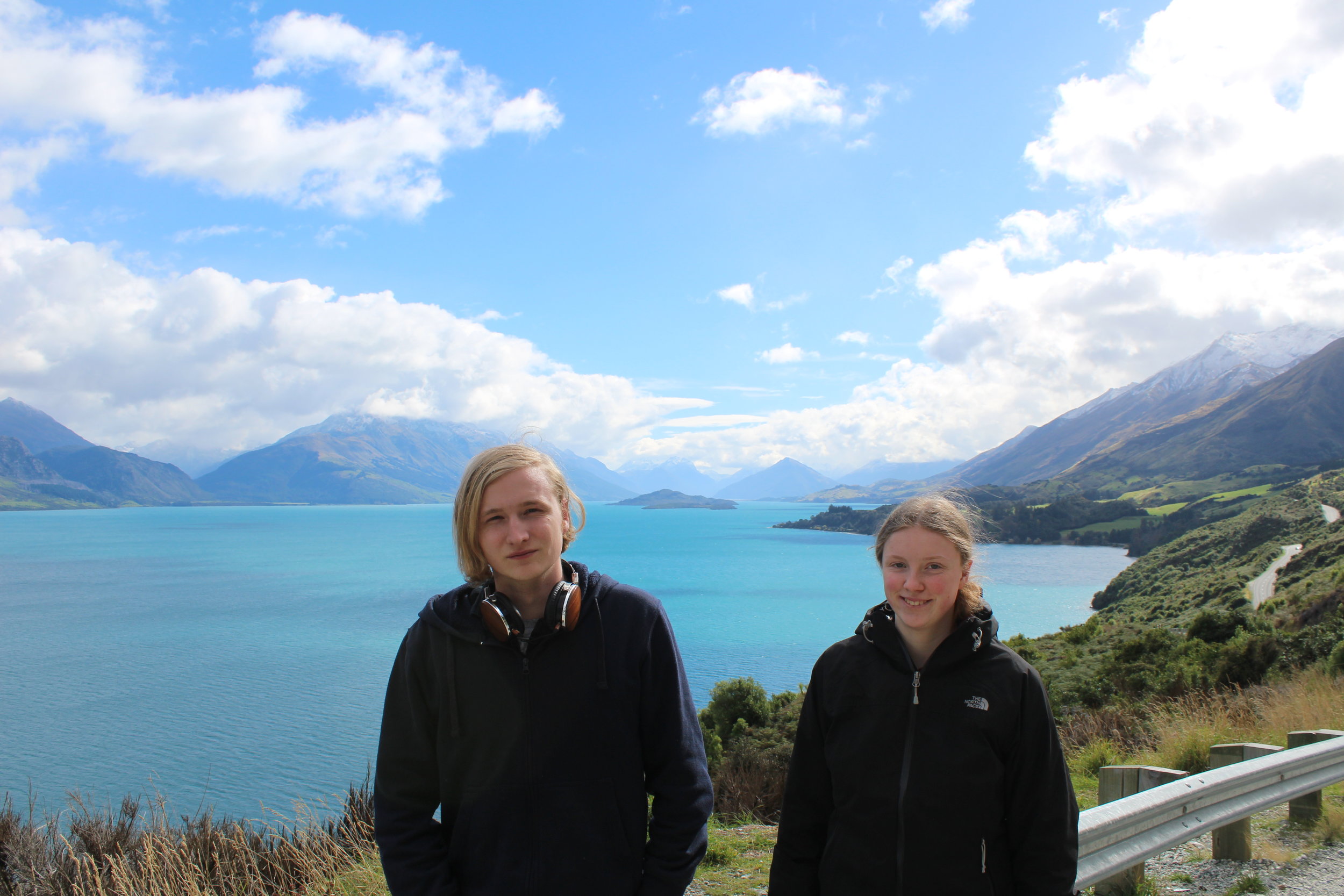
So far on this trip we have stayed overnight in a hotel, two laybys, a Department of Conservation Regional Park, a car park in Wellington city centre and Marahau Beach Camp.
For the latter we paid $70 and got electrical hook-up, showers $1 for five minutes, washing machine use for $3 and the same for dryers. No need for detergent in the washing machines as the sign told us it was added 'auto-magically' The washing machines also disliked 'tramping boots, tents, other heavy gear and country music'. Camp site owners with a sense of humour catering for people in colourful campervans, motorhomes, car drivers with tents, those walking the track, kayaking or taking a water taxi. There was also a shop selling essentials and of course a dump station and fresh water. Things you miss while freedom camping. Not to mention the WiFi at $5 for 24 hours. I've paid a lot more. All in all, a lovely stay at Marahau Beach Camp.
The Rankers app has an interactive offline map so you can check out camping spots (free and paid) which is useful but some of the reviews are years old and in the case of the lakeside parking area in Rotorua that we had to abandon, there are only three designated motorhome parking spaces and although a review a year ago stated that up to ten had parked without trouble, that was not the case for us as security moved us on. There also appeared to be a number of reviews that did not apply to the sites that we stayed on.
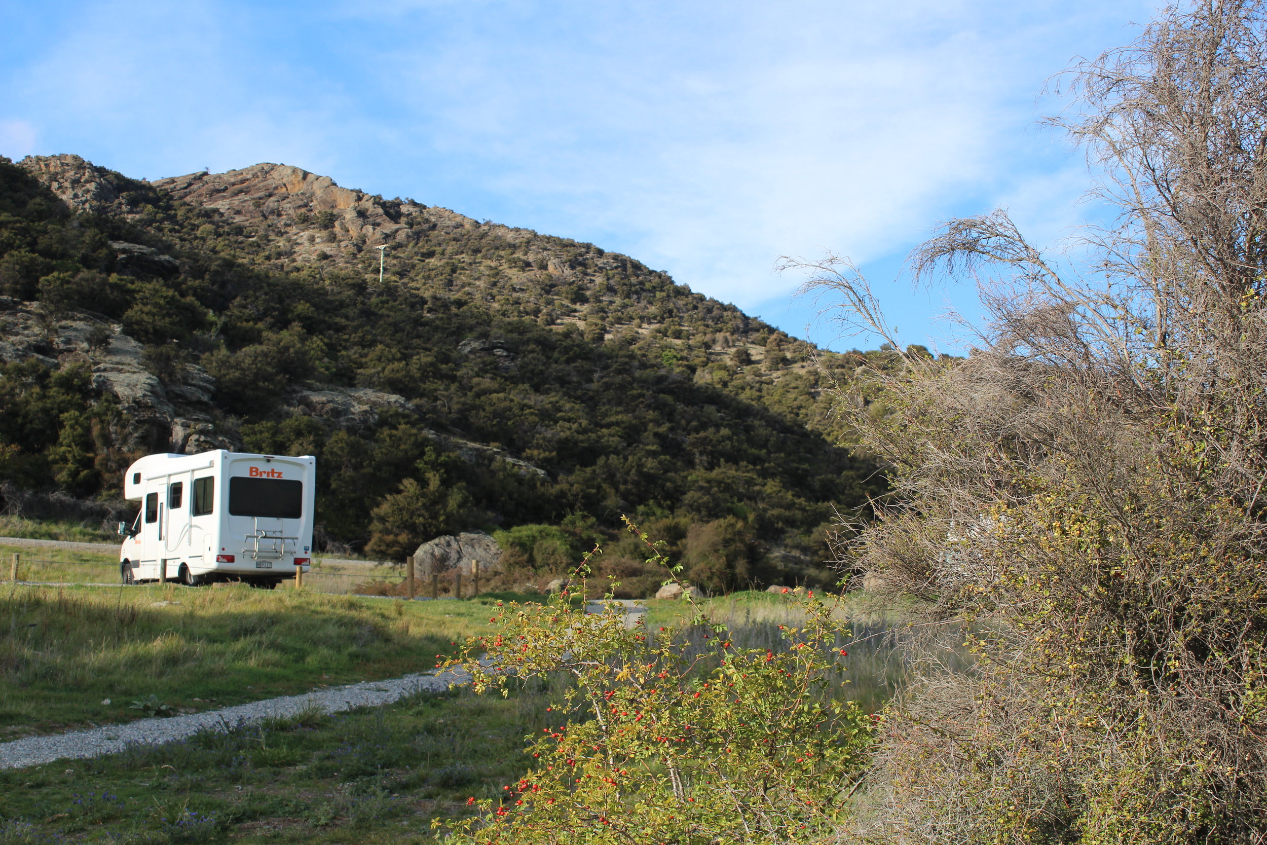
Our motorhome has a blue self-containment sticker which means it can be parked on these freedom camping sites.
When you reach Wanaka, there is a huge information board warning you about where you can't stay overnight. Basically, anywhere within the town/residential area. It is a 'No Freedom Camping Zone'. If you are caught (a high chance, judging by Rankers reviews) you will be fined $200. I thought this was per vehicle but a sign in Manapouri informed us it was PER PERSON. Ouch! They really don't want you here. Which, on the one hand is understandable. Residents shouldn't be disturbed. People should not leave evidence of their stay. But they do, and the sheer numbers that visit New Zealand put pressure on the country with these resuts. Or is it the locals? I hate to say it, but we have been told by New Zealanders that it is them who are causing trouble too.
When we came here 14 years ago, there was a large community of travellers in buses, house trucks, groups of RV enthusiasts, vintage vehice clubs... where are they all staying overnight? Obviously not in the town areas but as we noticed, there are some no 'camping signs' in laybys well outside the towns.